By Sonia Fernandez
The endangered North Atlantic right whale is about to get some much-needed help from UC Santa Barbara scientists, in the form of a vessel tracking tool that reveals in near real-time the speeds at which cargo ships move up and down the North American East Coast. A component of Whale Safe, a program developed by the Benioff Ocean Science Laboratory (BOSL) at UCSB, the publicly available vessel analytics tool allows resource managers, conservationists, shipping companies, retailers and the public in general to see whose cargo ships are speeding through waters through which these and other whales may be traveling.
The Benioff Ocean Science Laboratory was founded in 2016 in UC Santa Barbara’s Marine Science Institute as part of $70 million in giving from Marc and Lynne Benioff to support efforts to use science to improve the health of our ocean.
“We’re actually tracking all of the large cargo ships and tankers — anything over 65 feet and/or 300 gross tons in the U.S. or 42 feet (13 meters) in Canadian waters — and we analyze their speeds,” said BOSL project scientist Callie Leiphardt. The tool allows users to see the speeds at which specific large vessels are traveling and gain a sense of the ocean traffic in the area. It also shows what zones have been designated for vessel speed reduction to a maximum of 10 knots to avoid the often fatal collisions with the mammals. Ship strikes are one of the major causes of whale deaths on both the East and West coasts of North America.
The researchers will be holding a webinar to discuss the vessel analytics tool on April 16, 2024, at 10 a.m. Pacific time. Those interested in finding out more are encouraged to register at this link.
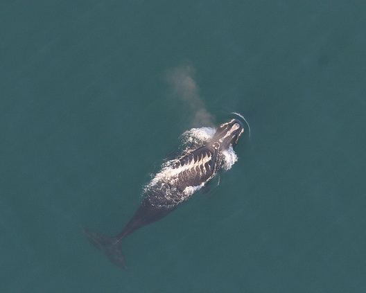
The situation for the North Atlantic right whale is an especially dire one; there are approximately 350 of these majestic creatures left. “There have already been a few deaths on the East Coast this year and two of them have been attributed to ship strikes,” Leiphardt added. The tool and its publicly available information not only adds a layer of transparency and accountability to shipping operations, it also provides the shipping companies with straightforward data about slow speed zones, which often overlap with shipping lanes.

“We do know in talking to some of our shipping partners that they really want to slow down in these zones, but there are so many bits of different information to keep track of,” Leiphardt said. Some slow zones along the Atlantic Seaboard are predictable, seasonal affairs, while other management areas are more dynamic, popping up around reports of the presence of right whales.
Additionally, the statistics can boost conservation efforts, helping scientists and managers to determine where they are finding success and where to concentrate their efforts.
“For a lot of these NGOs or government partners who are trying to track vessel speeds throughout all zones on the East Coast, what’s tricky is that there’s a lot of computation,” said BOSL project scientist Rachel Rhodes. The tool takes care of all the backend work to generate statistics that are shared with all users for free in near real-time, she explained, and that’s a win for those working to make sure the waters are safe for whales. The shipping company-level data can also be used by retailers interested in protecting biodiversity in their decision-making and business practices.

The release of the vessel monitoring tool, which covers both the East and West Coasts of the U.S. and the east coast of Canada, is a milestone for the Whale Safe program that began four years ago in the Santa Barbara Channel, off the coast of California. An effort spearheaded by UCSB marine ecologist Douglas McCauley, it merges whale tracking via underwater acoustics, dynamic blue whale habitat modeling and reports from citizen scientists in the busy Santa Barbara Channel, with tools that were already being used to track vessels and keep them from colliding with each other.
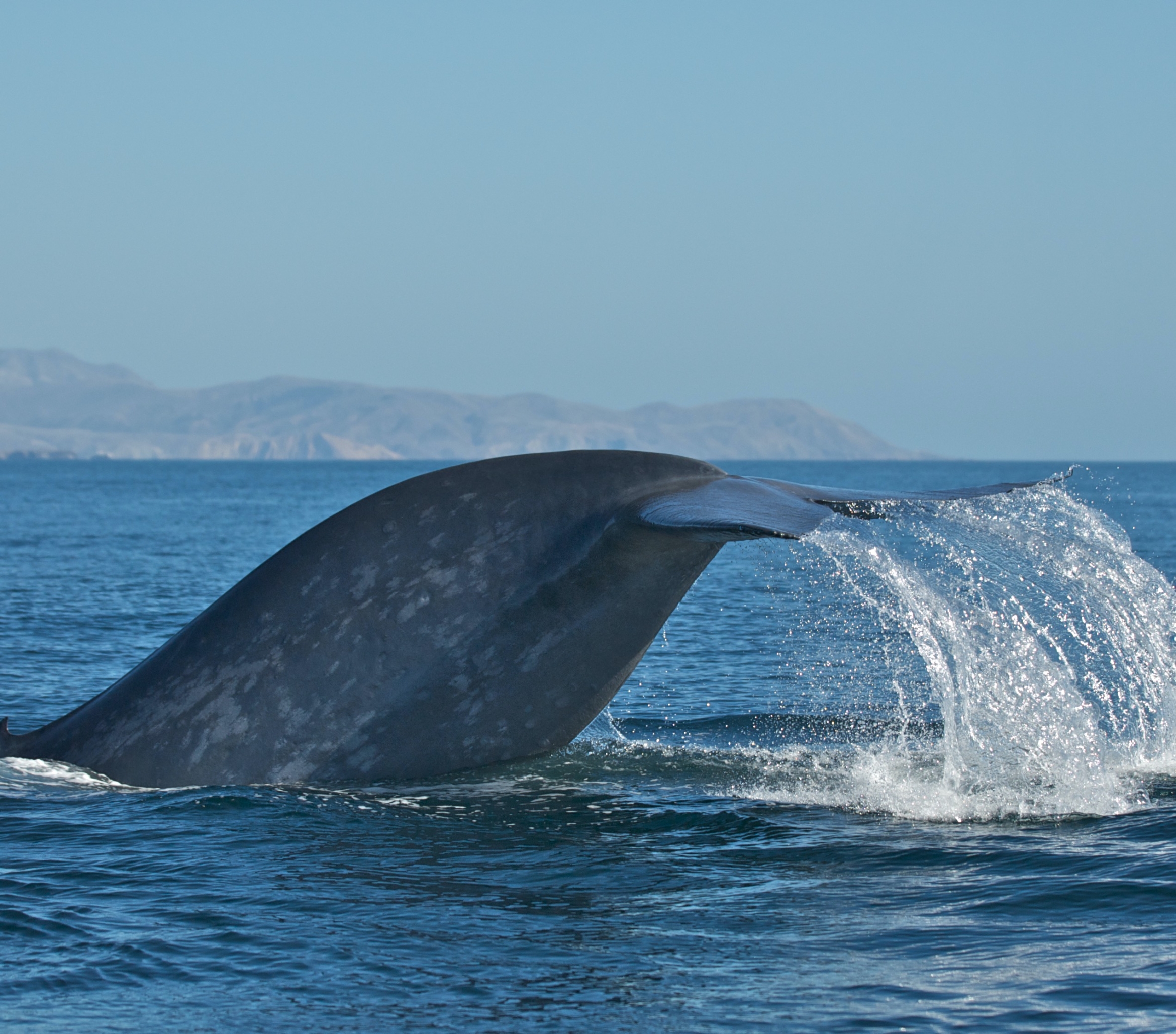
The goal? To promote awareness of the whales as they enter some of the world’s busiest shipping lanes during their own migrations, and to encourage vessels to slow down those areas — a critical life-saving decision for the blue, fin and humpback whales that call the West Coast their home. Since establishment of the Bay Area node in 2022, there have been fewer whale-ship collisions detected along the West Coast, suggesting the intervention is having success. As added benefits, slower ships also mean less carbon pollution in the air and less underwater noise pollution in the sea.
“We are so thrilled to scale up the science-based solutions we innovated in the waters right off UCSB so that they now better protect endangered whales across the continent,” McCauley said.
While currently only the vessel tracking component of Whale Safe is expanding eastward, its data is intended to articulate with that of existing whale monitoring infrastructure already in place. “There are multiple detection strategies for whale monitoring conducted on the East Coast through acoustics, aerial flights, thermal imaging and others,” Liephardt said. “Many efforts are being done to help conserve and rebound the North Atlantic right whales.”
The researchers look forward to seeing the tool deployed to monitor the waters along the eastern United States and Canada. Despite the slow zones implemented by the National Oceanic and Atmospheric Administration (NOAA), a large majority of vessels (including smaller boats) have been found to speed through these zones whether the slowdown is voluntary or mandatory, and enforcement has been low. The tool could be helpful in helping captains navigate rule changes as NOAA considers tightening up their rules to protect the 350 or so remaining right whales, and it could also help global shipping companies assess their fleets’ performance as they enter North American shipping lanes.
“It’s going to be a really helpful piece for companies and resource managers to see how these vessels are doing at a larger scale across these zones,” Rhodes said.


