
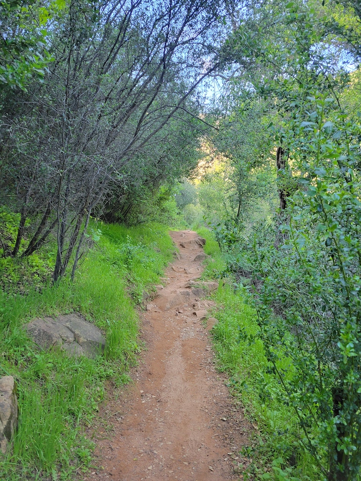
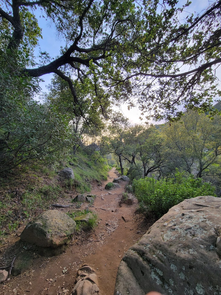
Rattlesnake Canyon Trail Reopens
![]() Anonymous
February 21, 2023, 11:40 am
4.1k Views
5 Comments
Anonymous
February 21, 2023, 11:40 am
4.1k Views
5 Comments


Written by Anonymous
Comments
1 Comments deleted by Administrator
Leave a Review or Comment
You must be logged in to post a comment.
5 Comments

California News

Fraud in California community colleges triggers call for Trump investigation
californianews
Read more


Elon Musk’s SpaceX expansion plans at Port of Long Beach raise environmental concerns
californianews
Read more


Trump Administration Considers Immigration Detention on Bay Area Military Base, Records Show
californianews
Read more

Top spellers crowned at California State Spelling Bee
californianews
Read more


1:54 – I checked Los Padres website and it’s still closed, so Rattlesnake must not be within the boundary of LPNF.
It’s been open since 2-10-23, the County has all the info for most anything one might need. Rattlesnake is good all the way to the Upper Rattlesnake Trailhead. It’s also good to get a map of your own as LP or several local trail maps are available.
Like SacJon posts, Santa Barbara Ranger District, Los Padres National Forest website still reflects this info on Santa Barbara Front Country Trails: “Temporarily closed until further notice due to heavy rain/flooding: Jesusita Trail, Tunnel Trail, Rattlesnake Trail, East and West Cold Springs Trail, San Ysidro Trail, Hot Springs Trail, Romero Trail”. Hopefully LPNF will update their website and take Rattlesnake off the above list if this trail is indeed open.
The LP closure is still in affect, as I stated it’s closed at Upper, because the road up there is closed. So you can go up and back off of Las Canoas but not drive up to Upper by way of Gibraltar Rd.
My housemate went up that way this morning, passing the trailhead on one of his 8-mile walks, and came home asking me if there was some “special event” going on at Rattlesnake. He said it’s an absolute zoo of people.