Up Before the Storm

Just before the latest storm series arrived, I took off for a quick tour of town from above.
Initially planning to head West for a look at that coast, we started enjoying shades of green as contrast to recent drought years.
Near the NW side of SBA we were thrilled by this view [above]. I’ve pumped the colors to show it more like what we saw, compared with the camera’s “eye” view. Also to accentuate all the shades of green already brought by rain.
Looking to the West, it was obvious that light rain was already falling there adding a misty perspective that nudged us to turn right and head East instead. Even the closer part of this view was hazy so the greens were muted. Still, note the deeper green along the near coast.
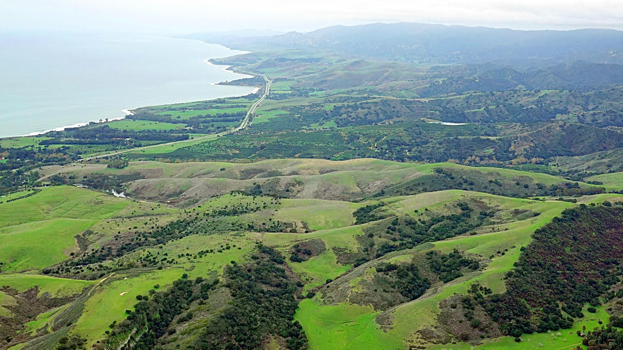
Next we got a nice view of the San Marcos Foothills Preserve (end of entrance road at bottom-right, 154 up to the left). Wonderful how it’s greening and to see the trail layout from this perspective.
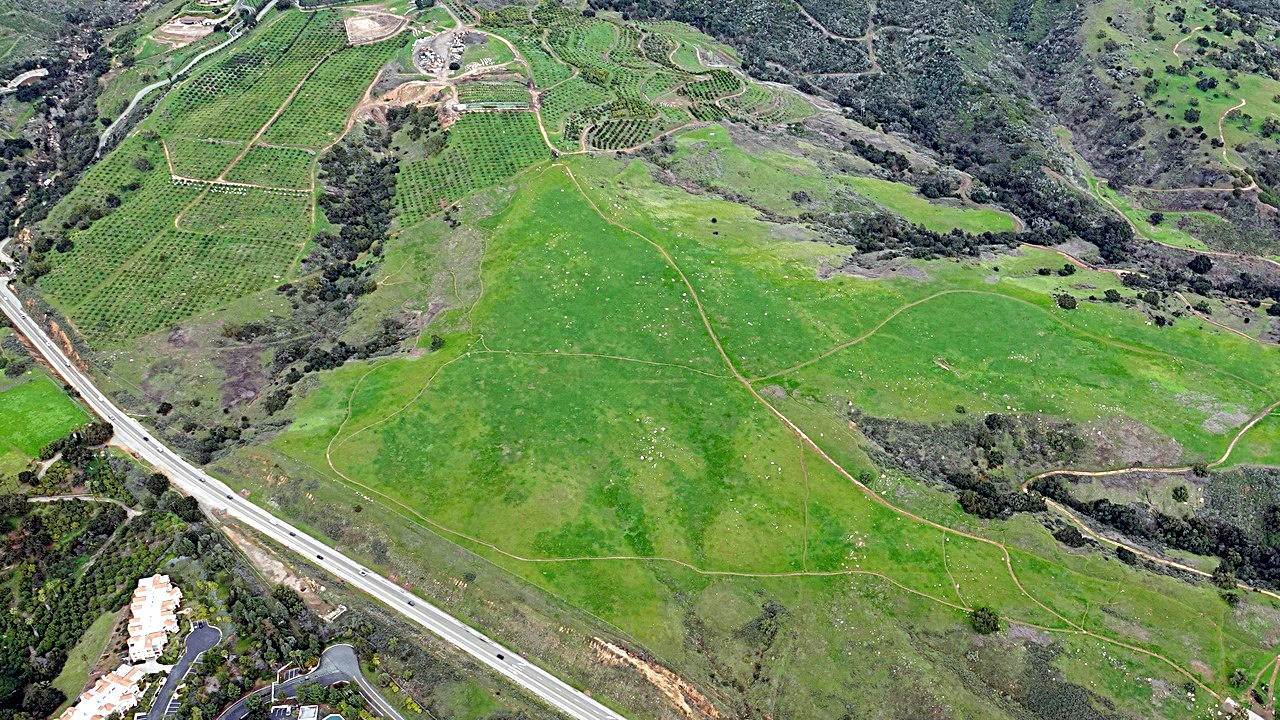
Having gone to a concert a while back, we enjoyed looking at the SB Bowl below APS.
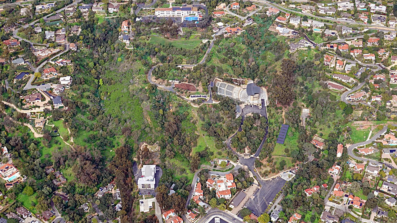
Next a glimpse of this debris basin ready to hopefully contain what’s to come in the next few days.
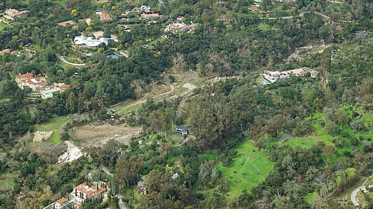
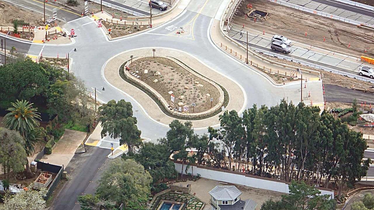
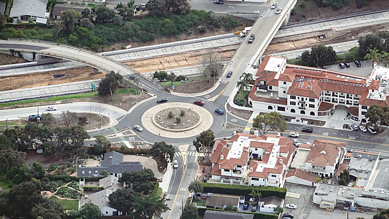
Then we checked out progress on the new Montecito traffic circles.
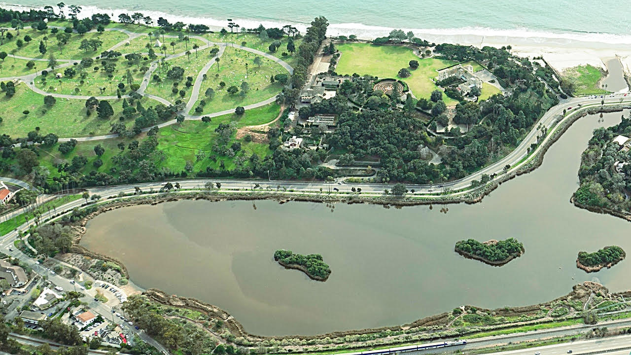
With rain showing up on radar and closing in on SBA we headed back, and got this view of the Hugette estate (hopefully public some day, as she wished) & bird refuge.
Our friends Bob & Catherine Zitzer slumber in the cemetery next door, and seem to whisper hello when we pass this way recalling visits to their graves.
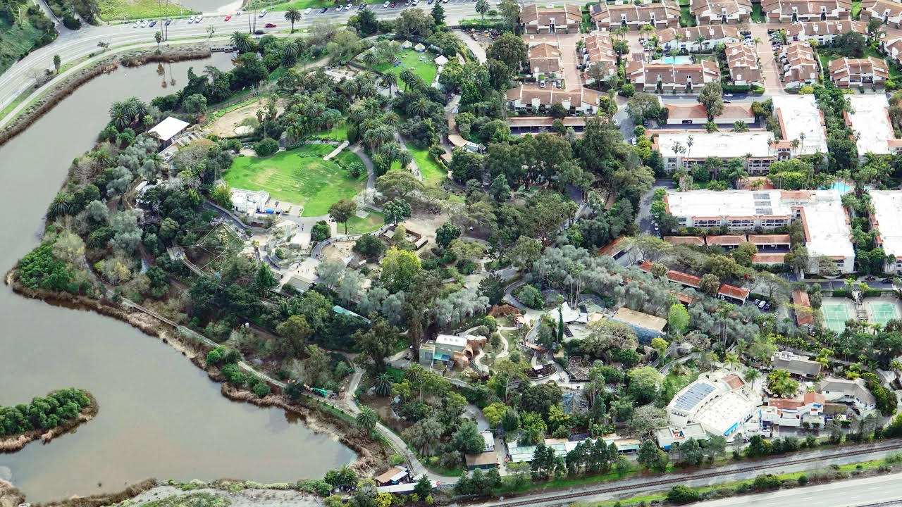
The zoo looks lovelier than ever.
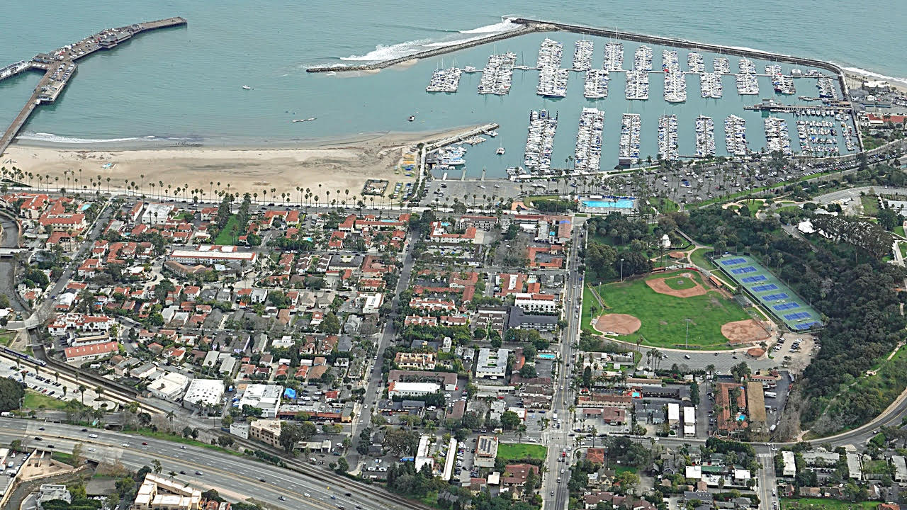
Somehow the harbor breakwater seemed to be an outstretched arm sheltering boats from the threatening atmospheric river, already nibbling and testing.
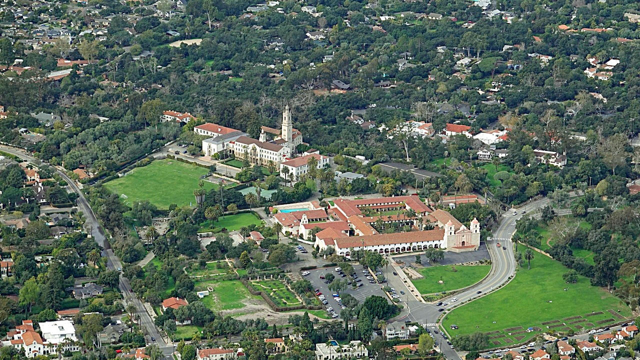
In the soft light below solid overcast, the Mission seemed especially magnificent.
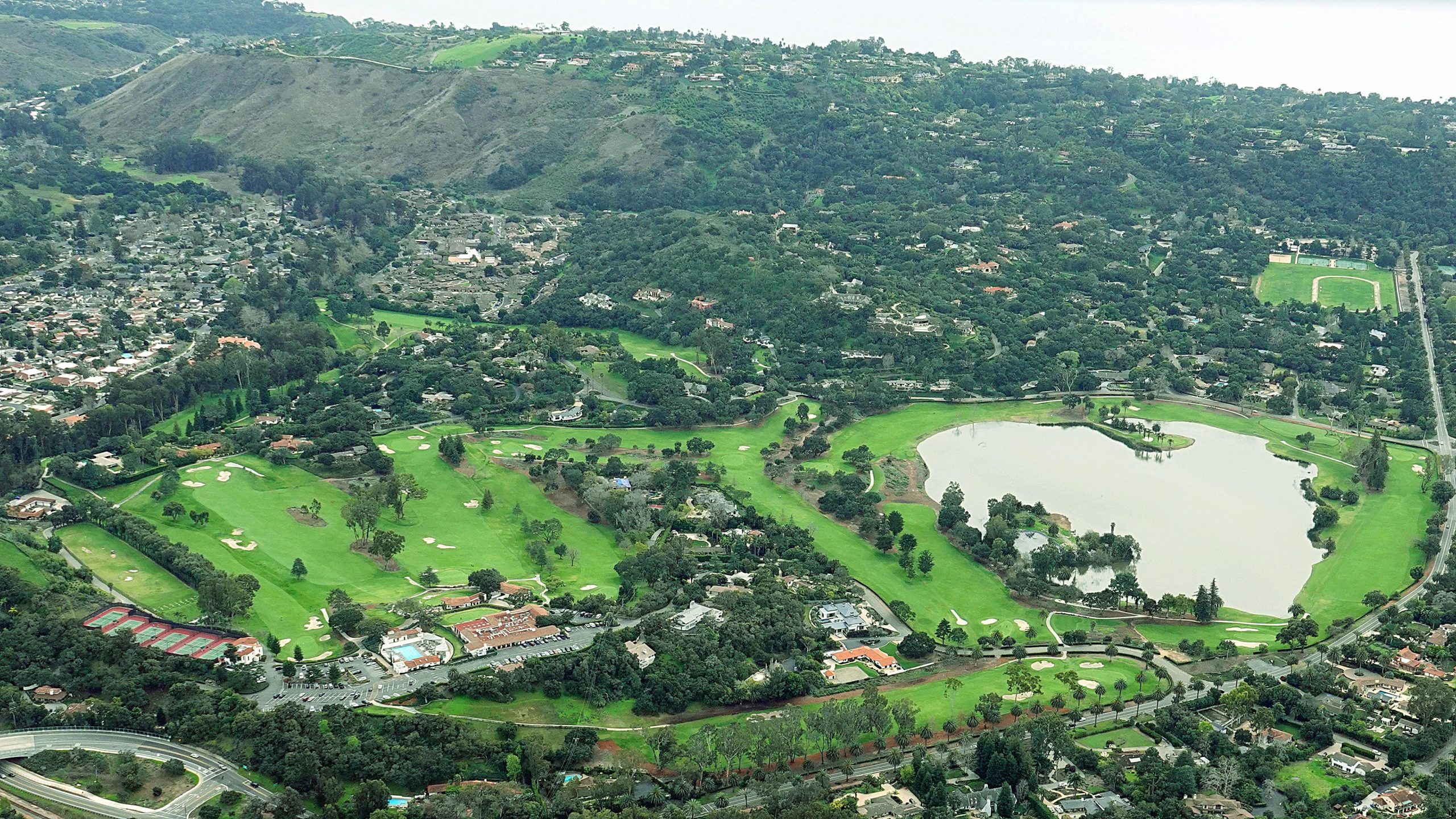
Nearing SBA in a gentle descent, our trusty little magic carpet seemed to be anticipating being tied down with a protective cover in place. In a quiet moment before landing we enjoyed seeing Hope Ranch and the golf course such a peaceful green.
If you’ve never taken an aerial tour of SB, we hope you call one of the local companies providing them and arrange to go while the green is so luscious.
Comments
0 Comments deleted by Administrator
Leave a Review or Comment
You must be logged in to post a comment.


Nice to see things looking so green and fluffy!
Hope this storm’s not damaging, with flowers to follow.
I wonder what it will look like when the storms finally (hopefully) end and the Bloom begins. Does this much rain over a long period make for super-blooms? Meanwhile, hope the flood damage doesn’t get even worse.
How are people liking that round 6-way traffic circle?
I like it, and I think it’s a real improvement over the way it was. Before, when encountering another car trying to enter the intersection, it could turn left, right, or straight, and you didn’t know which way it would travel. Now, every car enters by turning right and exits by turning right. I think it’s much safer and easier to navigate than before.
Excellent point. Also a Yield vs. Stop x 6 at the old intersection. I seem to recall locals objecting to the first such intersections some years ago, but maybe everyone’s encountered one since and gotten used to the nonverbal dance drivers do that worried some of us. So is it all Love now?
Bike riders and pedestrians maybe preferred the old intersection though?
I think that, technically, it is a roundabout, rather than a traffic circle, isn’t it?
Thanx for the beautiful photos, John!
Interesting question – what’s the difference? Maybe having an “island” in the middle? I like how many of those islands have trees. This one even looks like it should have benches for people to sit and watch the show. Of course, I’ve seen skid marks up onto some islands, so maybe 360 degree webcams would be safer.
Oh, glad you share my enjoyment of the green, Snoodely. SB is such a magnificent place from the air!
Most/Least Favorite anyone? I obviously liked them all enough to share, but forced to choose: 1, 3, 4, 7, 10, 11 but can’t pick between them. Each has outstanding qualities, like kids in a happy family. Even so, I tend to linger on each of the dozen for various reasons.